Over the Atlas mountains: our Moroccan bikepacking adventure, cycling from Marrakech to the ancient fortified city that’s featured in Game of Thrones
Epic mountains, deserted gravel roads, an incredible 1,000 year-old trading outpost - plus a few mistakes to learn from...
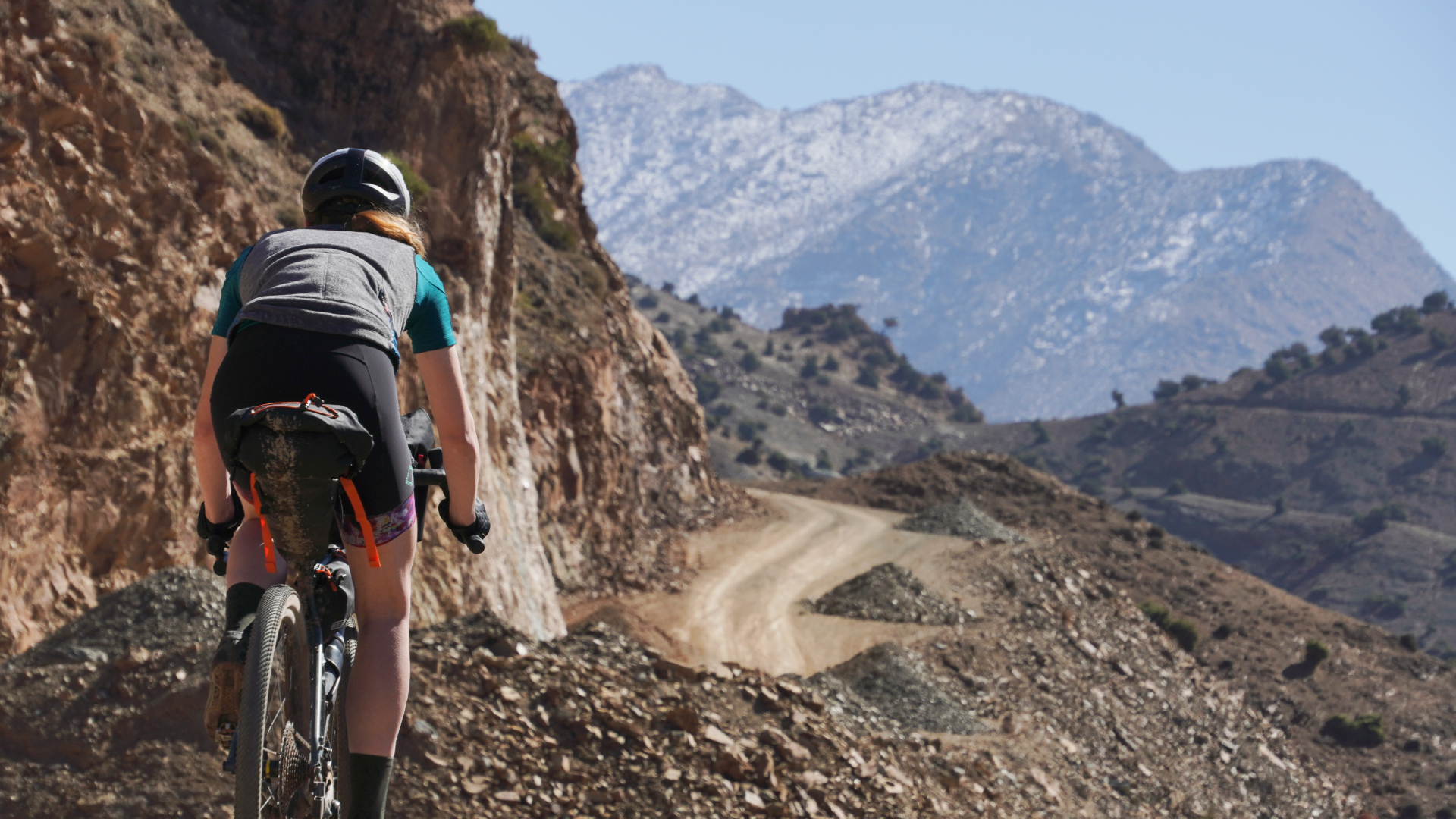
Anna Marie Abram
There is rarely a good time to be sick. Still, just before the peak of a 2,500m high gravel pass (and with the sun steadily setting behind the surrounding peaks) really is - we can confirm - quite far from ideal.
It also makes a pretty unorthodox grounds for a compliment, but a ride does need to have been already quite incredible up to that point for the first question to be: ‘how can I make sure I’ll be able to continue?’ rather than: ‘what’s the quickest way back home?’
Myself and Anna - along with probably much of the cycling world - have had a slow drip-feed over the years about the riding around Morocco. The recurrent articles, videos and races set in the High Atlas mountains - just 50km south east of Marrakech - each instance has been interesting to note and, in aggregate, made a trip to see the roads and trails for ourselves an irresistible draw.
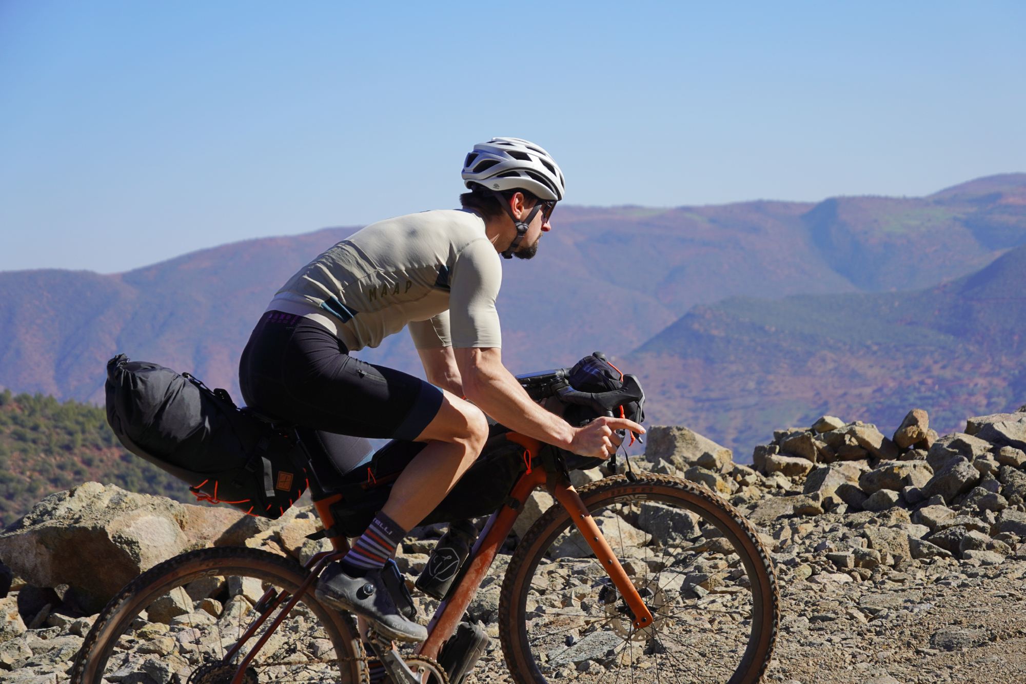
It’s through contrasts that anything is thrown into its starkest relief. And, when it comes to contrasts, we’ve never seen any stronger than those of Marrakesh and its hinterland during the tail-end of the northern hemisphere’s winter.
Directly outside the city, you roll into the heat, sand and pancake flatness of the palm tree groves - a dry, swooping playground of wide and smooth gravel tracks. Depending on your direction, it doesn’t take long, though, until this gives way to the High Atlas mountains and their snow-capped peaks (of up to 4,000m high) looming over the road and gravel passes below - which themselves skirt the snowline, and sometimes fall beneath it.
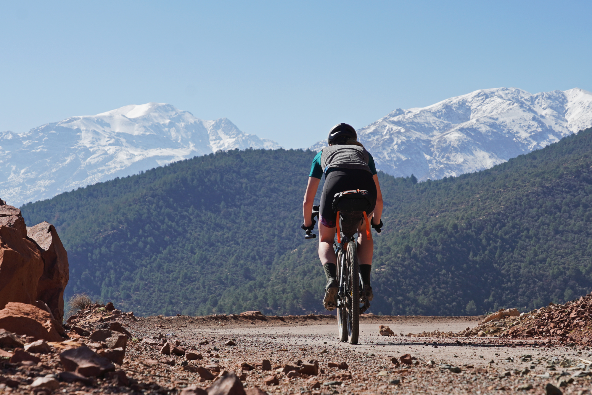
If anything, the urban / rural split makes a greater contrast than the terrain. The hustle and bustle of Marrakesh’s city centre is unparalleled in Europe, which is only 13km away across the Mediterranean.
Modern SUVs share the road with donkeys and carts, whilst an array of motorcycles and tricycles makes up the spectrum in-between. The lane markings on the road do give some indication as to how many vehicles you might find travelling abreast - but that relationship is rarely one-to-one.
Get The Leadout Newsletter
The latest race content, interviews, features, reviews and expert buying guides, direct to your inbox!
We tended to avoid those roads on the bikes. Outside the city, though, the roads instantly get much quieter - and then completely give way to an almost disconcerting stillness once you get onto the mountain gravel proper. It becomes hard to comprehend that the two experiences can be so close temporally and spatially when in all other senses they’re just so far removed.
The route across the Atlas Mountains, Morocco
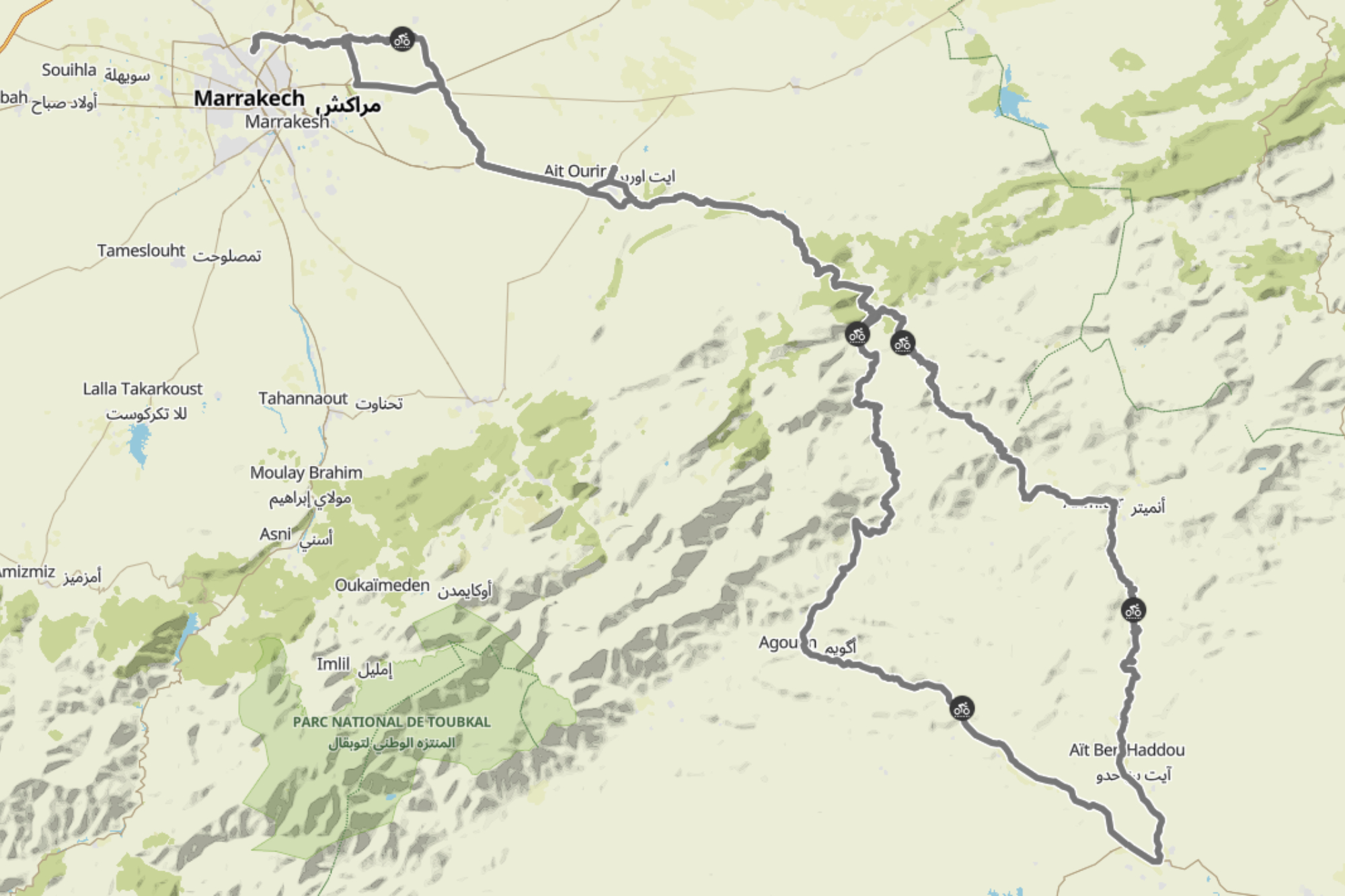
Anyway, back to the ride. We plotted out a 360km loop from Marrakech, across the Atlas mountains, and over to the ancient fortified town of Aït Benhaddou. So much was incredible and an experience we would fully love to share.
Other parts, well… we’ll also give you our recommendations on what not to do! Plus the route we would take if we were to do it all again.
Day 1: Marrakech to Ait Ourir - 50km / 338m
Similar to the participants of the Atlas Mountain Race (which had taken place the week before), we left in the evening for the first leg of the ride. But that’s about where the similarities ended. Our plan was to stop at the foot of the mountains once night fell, rather than continuing on to do the pass wholly in the dark!
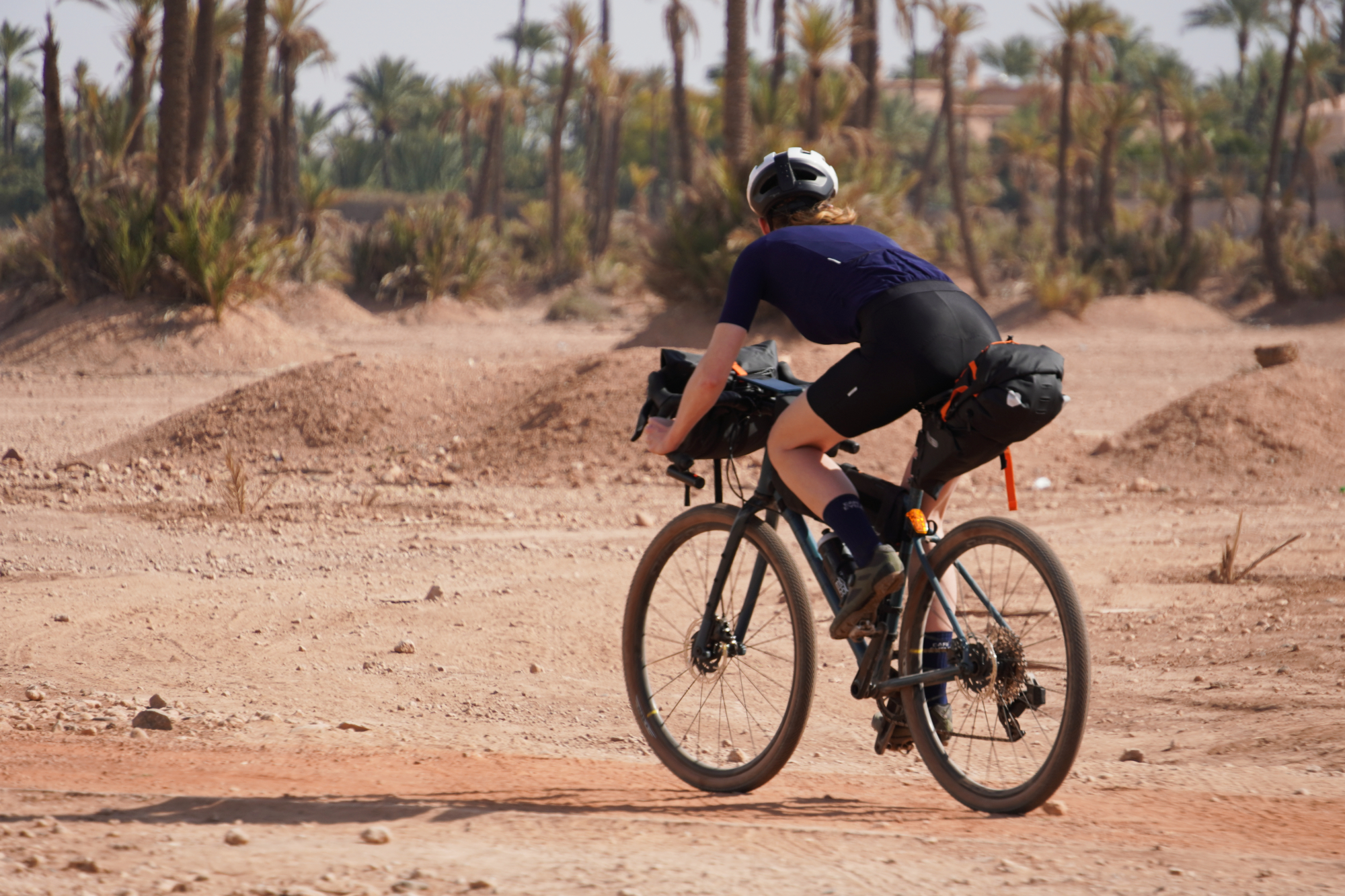
With this more relaxed approach, we also took a rather more circuitous route out, winding through the palm grove to the north east of the city and avoiding the city traffic.
The story behind the palm trees is that, long ago, Youssef Ben Tachfine - founder of Marrakesh - once stationed his troops on this plain and the seeds of their many discarded dates took root in the soil and grew into this grove. However they got here, the trees are now protected by law and act as a ‘green lung’ for the city.
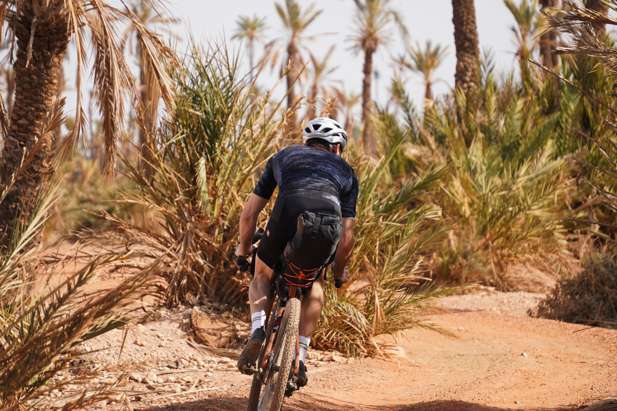
The riding was fast, flat and wholly pleasant - an excellent segment by any standard. About halfway along, we got to a slow section skirting around the edges of a patchwork of small fields. We would have been better off dropping onto the smaller roads and cutting south a little earlier, but it wasn’t too much of a delay.
There were some brief stints on larger roads as we connected up the smaller ones, but these (like almost all the larger roads we rode on) had a separate lane for two-wheeled and smaller vehicles.
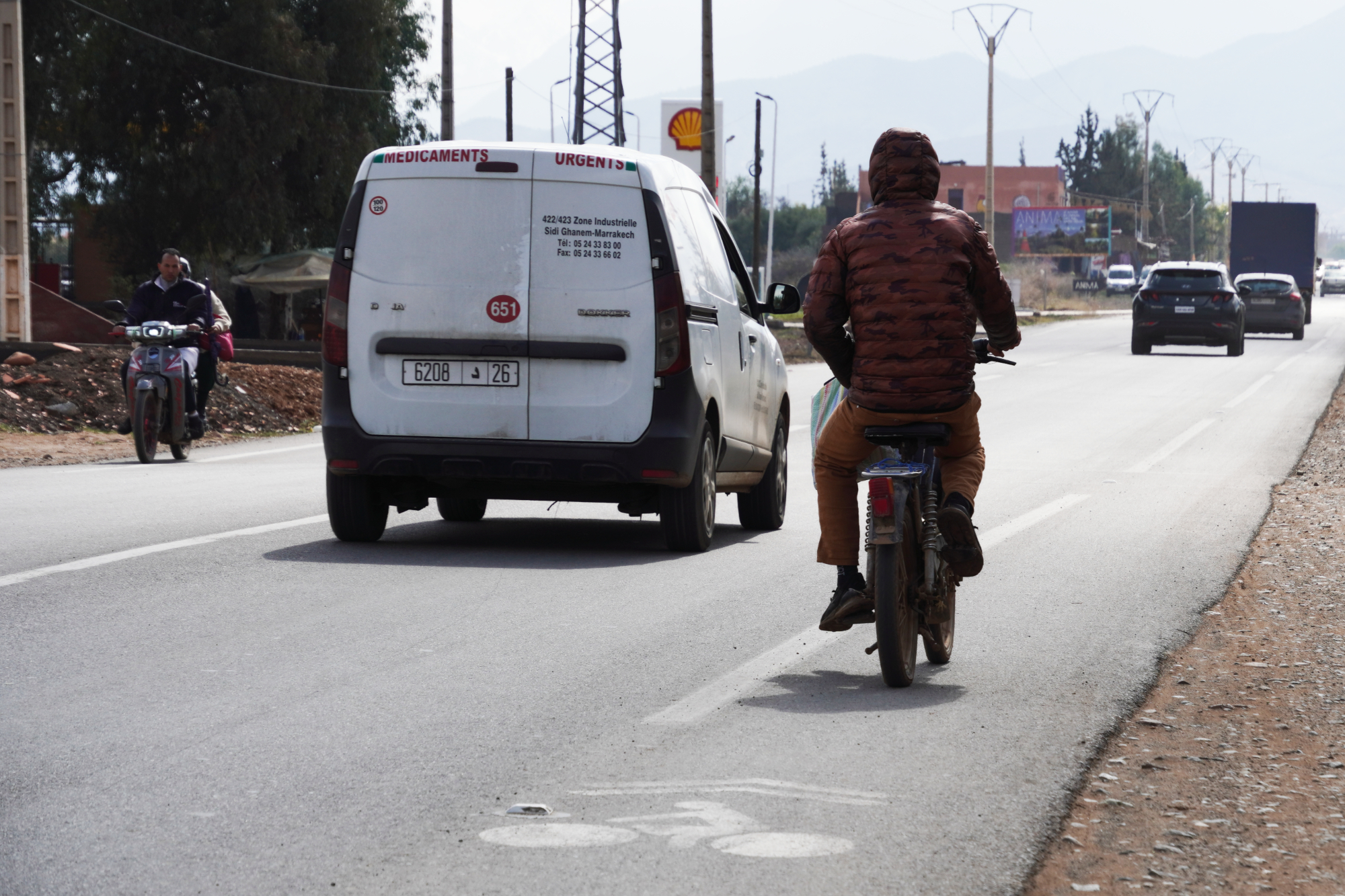
There are so many people riding old scooters which can only chug along at about 40kph - plus there’s a sizable enough proportion of people still using a donkey and cart or cycling that most roads have been designed to separate this traffic from the faster moving sort (cars, vans and trucks, etc.). It is great that these exist, but you still need to keep your wits about as close passes can still happen - particularly if there’s a car parked in the bike lane up ahead.
Without much distance to speak of (or elevation gained), and with the riding having been along quite simple roads, it was a gentle easing into the loop. But if we’d known quite what was to come on the next day - the first full day of riding - we would have arranged this start quite differently to what we did...
Day 2: Ait Ourir to Telouet - 87km / 2,863m
For instance, every time we checked, aside from on the 2,500m gravel pass itself, we had either 4G or 3G signal - remote; yes, but isolated; no. Given the mountains that we’ve travelled in from Norway to Sicily (albeit some of those trips quite a long time ago) we really weren’t expecting the signal to be as good as it was, which was a pleasant surprise.
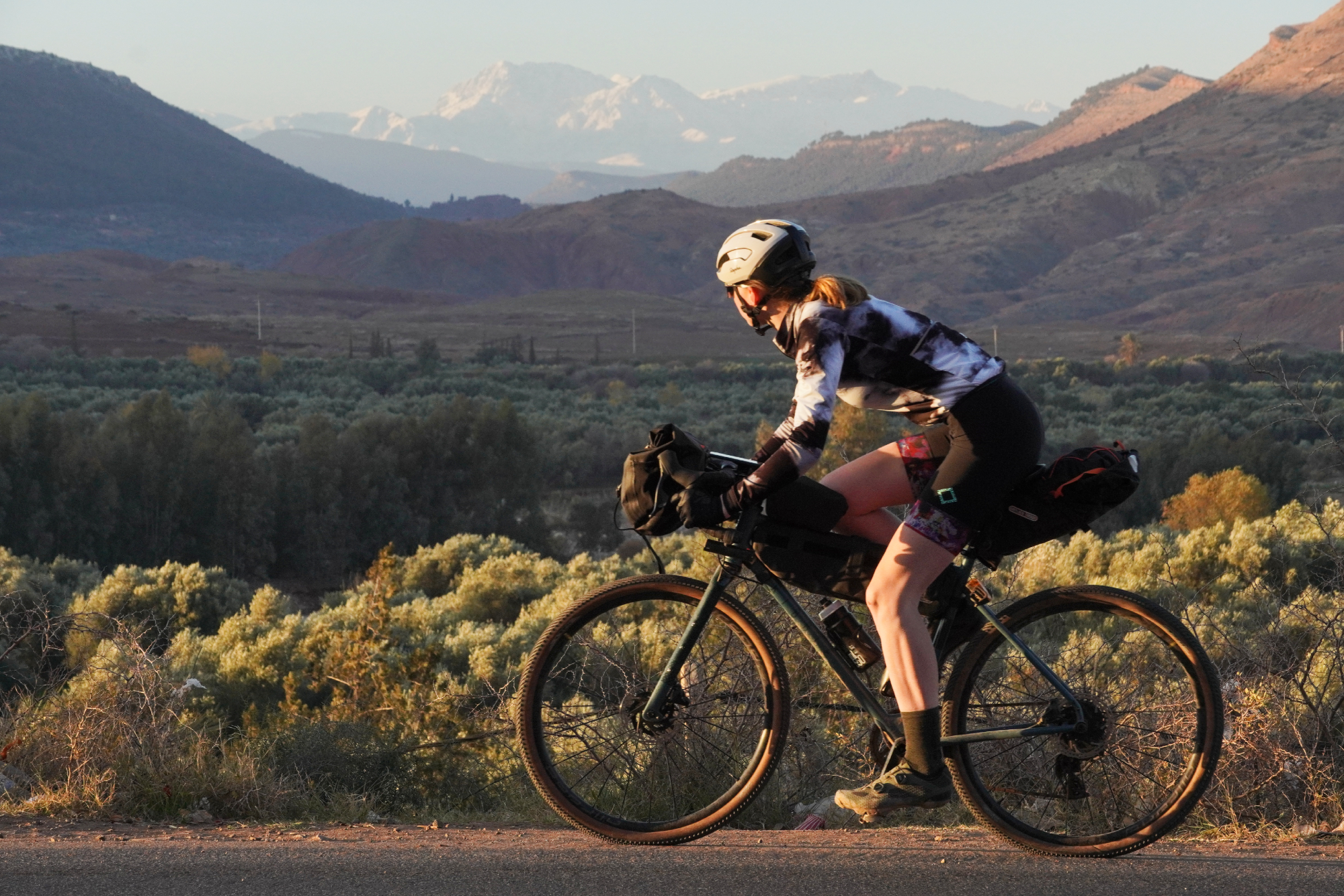
But back to the riding. We started out on the N9 mountain pass, a road which the French built over the old caravan trail to Ouarzazate. It’s the main throughway over the mountains, but surprisingly not very busy (at least not in the mornings).
The road itself has some utterly stunning views and the surface is extremely good - in places. It’s currently being rebuilt, so there are some quite gravelly sectors along the way, we’d very much advise at least an all-road bike even if you’re planning on sticking wholly to the ‘roads’.
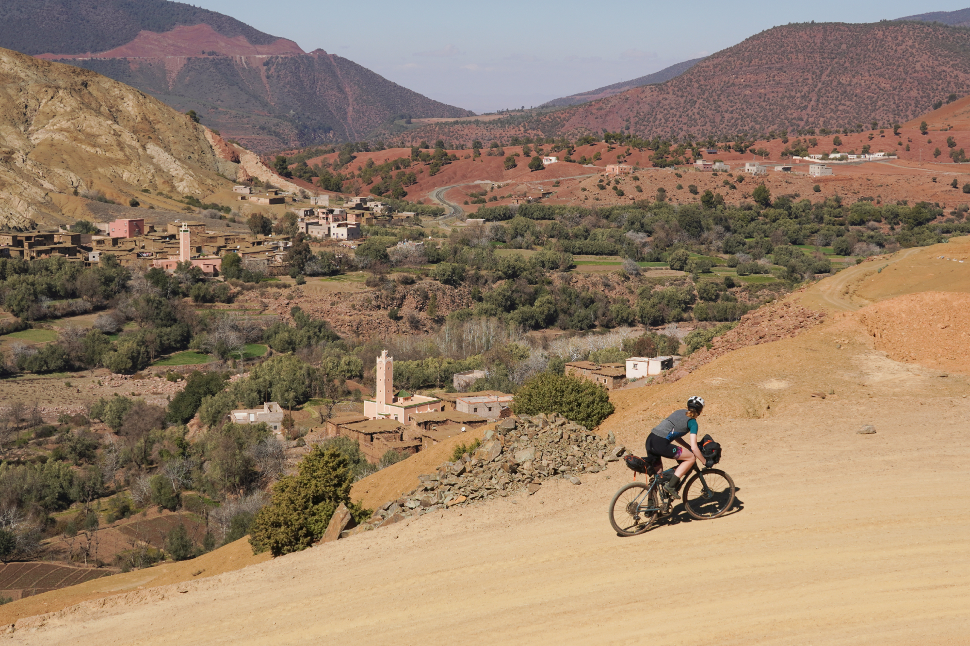
After about 40km of climbing, we turned off at a town called Zerkten to start the gravel ascent to the 2,500m high pass.
It was incredible just how still everything was, we didn’t hear a single motor all the way up the Tizi n'Telouet pass. That’s not to say the route was deserted, though. As we wound our way up along the track, we kept on passing through small villages and meeting people managing livestock or collecting firewood.
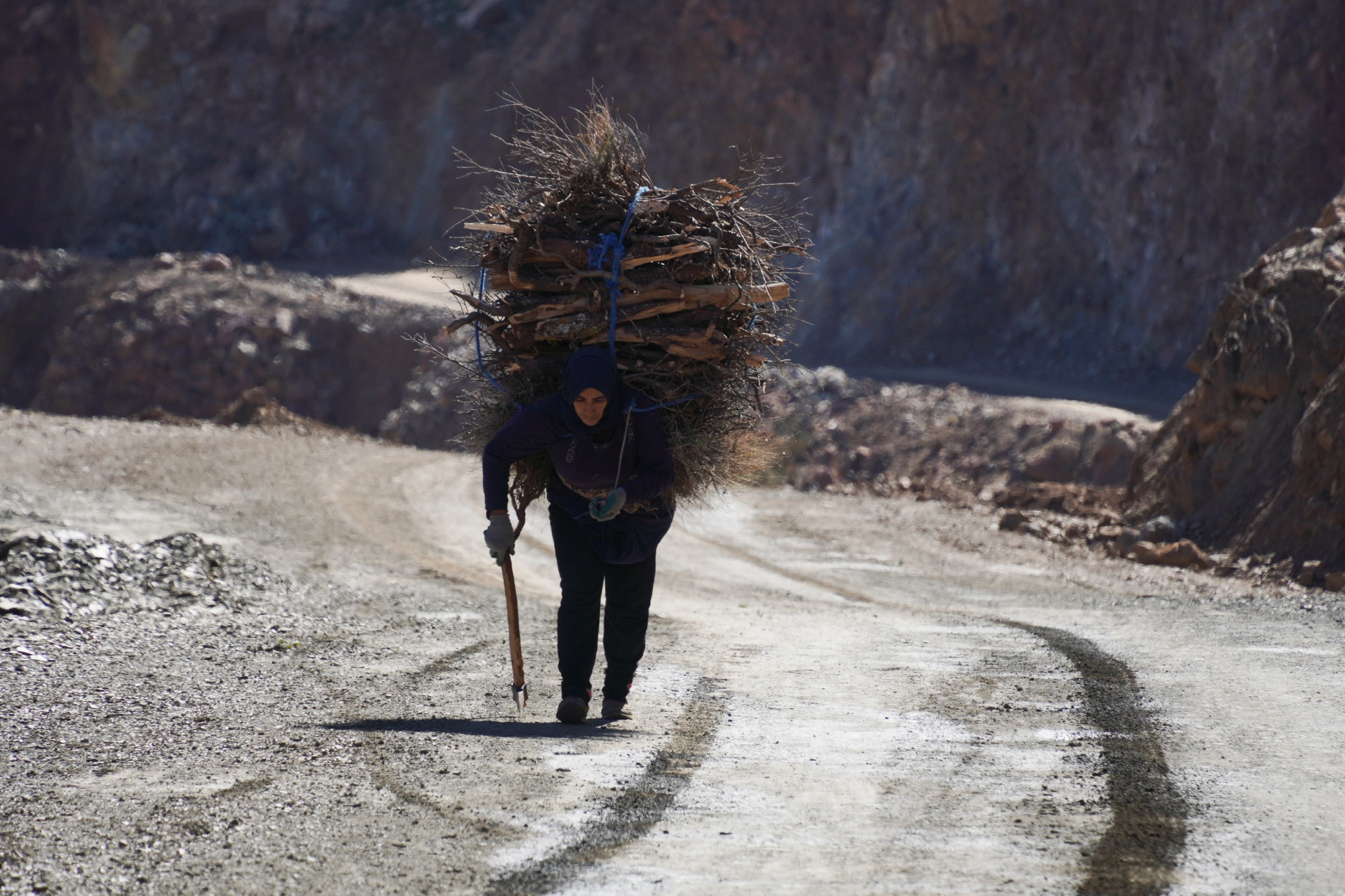
For this ~30km section, the surfaces were spot-on as well. Sometimes off-road ‘trails’ and unsurfaced ‘roads’ can be used a little interchangeably, but there is a really big difference between those that are designed predominantly with legs in mind and those designed for wheels - and this fell fully in the latter.
We were able to ride side by side pretty much the whole way and, with the chunky tires, the ride felt about as smooth as tarmac on 25mm rubber.
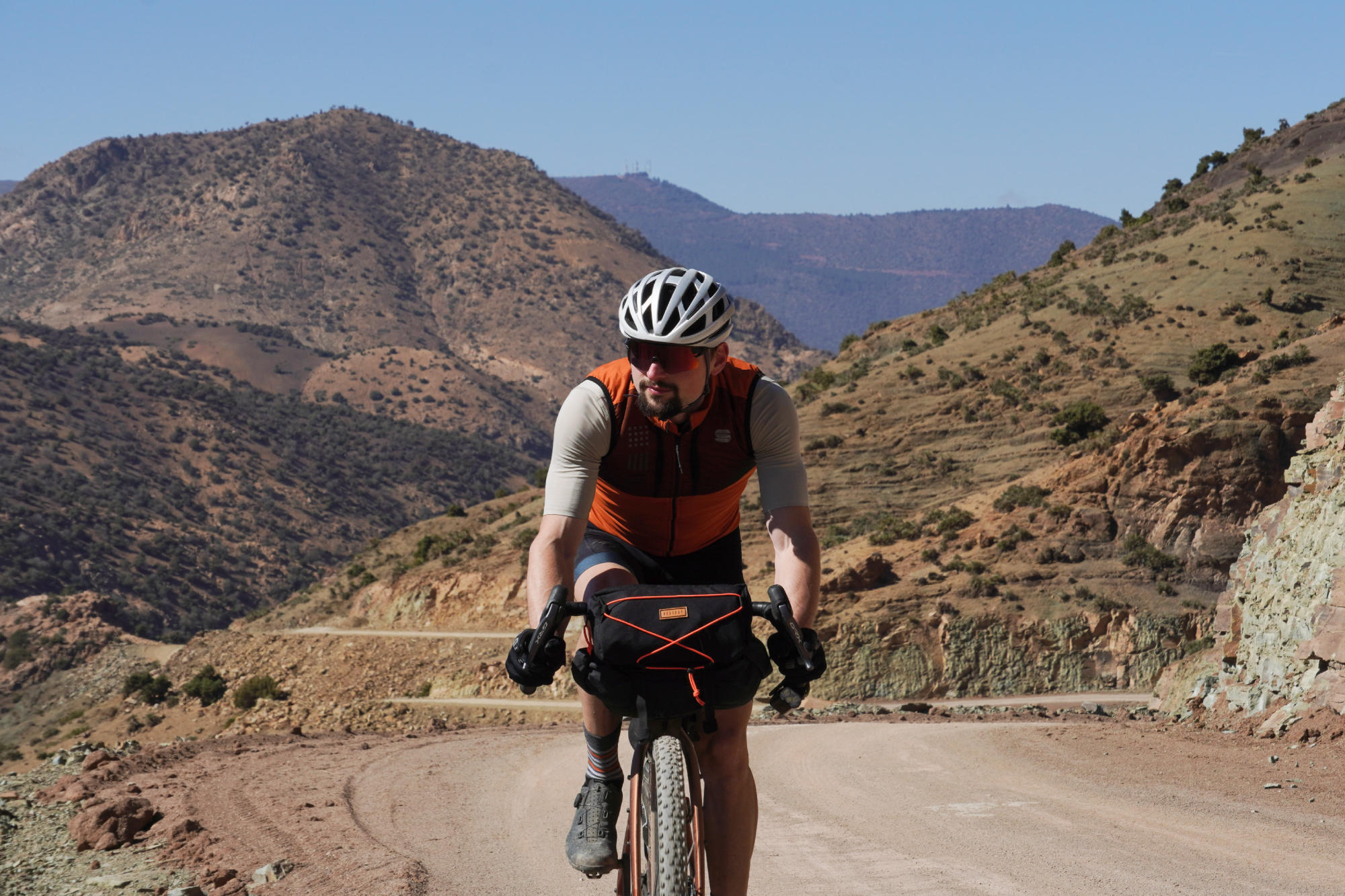
As we continued climbing, the hardpacked dirt started to give way to more shingely and looser stuff, which made the ride harder going. The temperatures, too, started to fall away the higher up we climbed - but in the full sun and without much wind, it felt so much warmer than it actually was. By my cycling computer it was 10 degrees, but I was still riding with my arms out.
Now, it might have been the tap water. It might have been the altitude. It might have been the dust. It might have been the unrelenting effort of climbing 2,500m on steadily loosening gravel. Or it might have been the sugar-heavy fueling for that effort. Most likely, it was a combination of all of that. Either way, Anna, like an unfortunate number of the riders from the Atlas Mountain Race the week before, threw up twice before we reached the top of that pass.
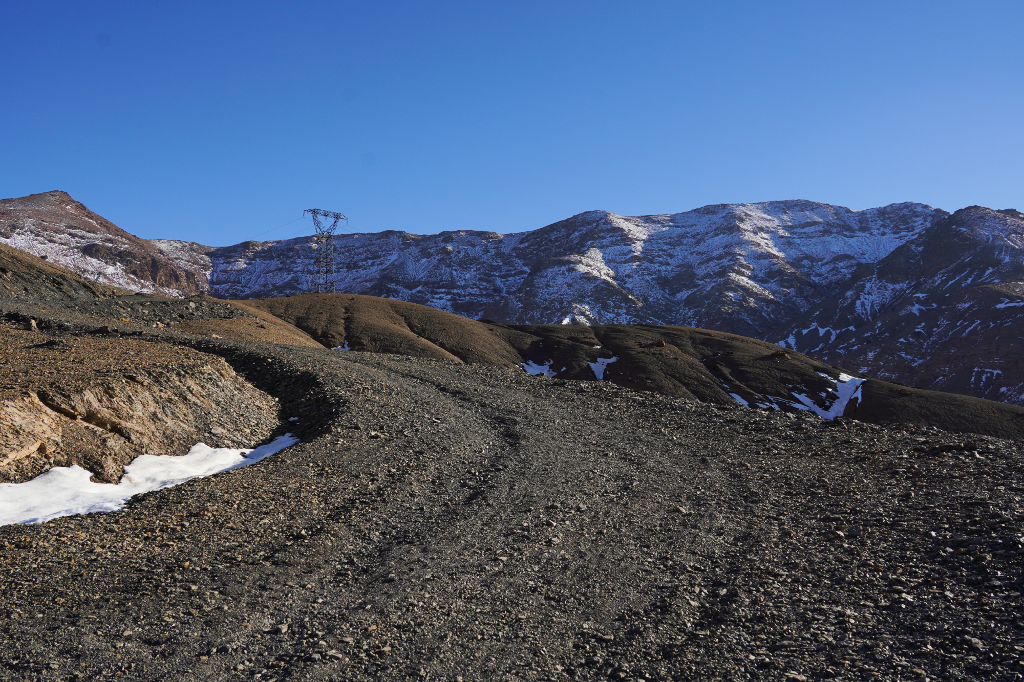
Not an ideal situation to be in when the light is fading, the heat quickly dissipating and the winds picking up since we’d reached the most exposed part of the climb.
We knew what was coming and so had everything we needed in terms of food, water, additional clothing and everything else we needed - so we had no worries in that regard.
Still, being prepared for the worst doesn’t mean you necessarily want to resign yourself to it - a hot dinner and warm bed is certainly a much nicer way to recuperate than hunkering down on a mountain!
So, after a break, we pushed on to the top of the climb.
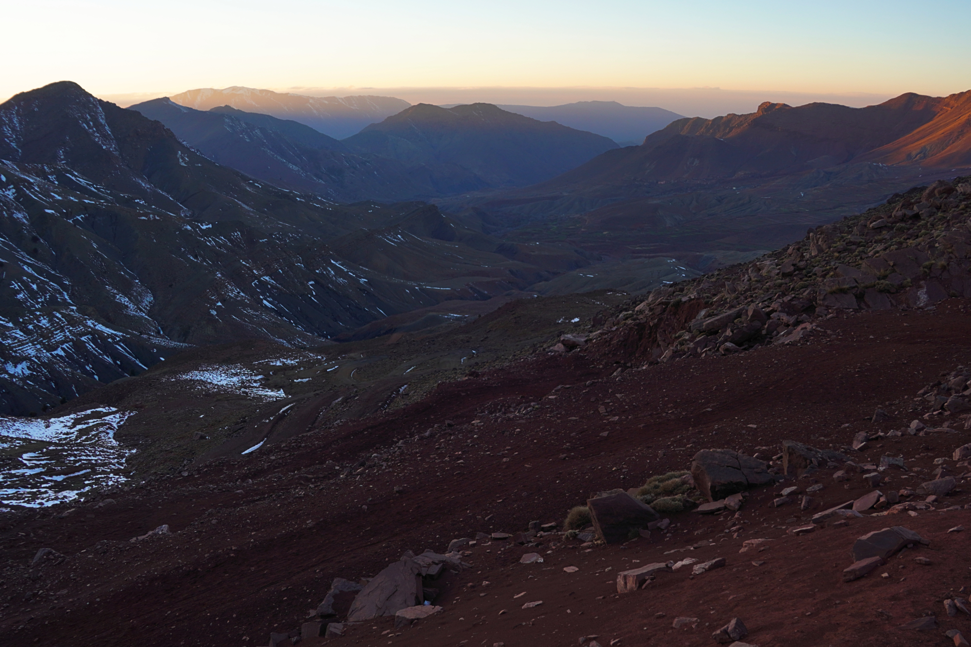
We were expecting the descent to match the way up - steep, potentially a little loose, but at least double track all the way down. We were quite wrong about that. The path was narrow and strewn with rocks, ranging from fist to head sized. It would have been possible to ride on a mountain bike, although it wouldn’t have been a particularly fun and flowing ride - and especially not with so many kilos of kit strapped to the frame.
The result was that after having had to push the bikes up the final portion of the climb up due to the steepness and after the sickness, we then had to push them down the other side due to the narrowness and rockiness of the trail. We dropped about 500m vertical meters and covered about 10km - the time difference between walking that distance and what it would typically take to ride is pretty significant!
So, after nearly 14 hours on the bikes - and a very long time after the sun had set - we finally got to the town of Telouet. First on the list was refuelling with a hearty tajine and then it was straight to sleeping and recovery.
Day 3: Telouet to Aït Benhaddou - 51km / 581m
Getting in so late - and the knock-on effects from that - meant that we were about half a day down on schedule. Our plan had been to ride 50km into Aït Benhaddou in the morning, staying there for lunch and most of the afternoon, then pressing on another 50km to Agouim in the evening.
As it was, after about nine hours sleep, a long breakfast and packing up our kit, it wasn’t until gone midday that we set off on the ride. So, we made the call to split the ride, stay overnight at Aït Benhaddou and do the second 50km of the route the next morning.
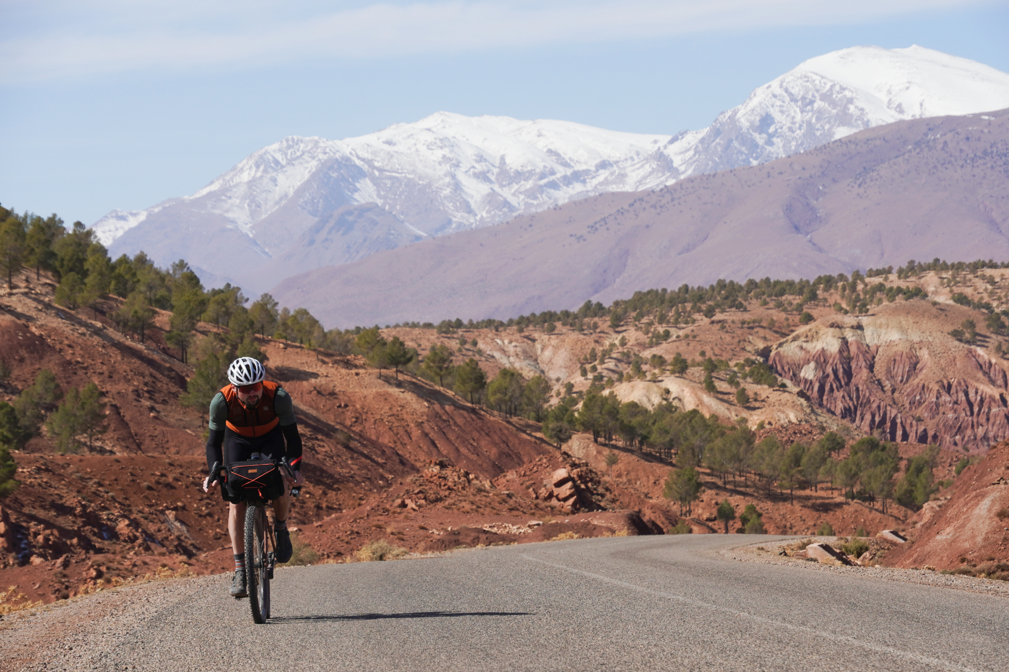
The ride down really justified the effort we made to continue the day before. We were mainly on roads with just a few gravel excursions, but the whole route was just stunning as we rose and fell over the foothill and away from the high mountains.
Looking back over our shoulders, we could see the peaks in the distance with their bright caps of snow. Ahead of us, the road held a clutch of high-speed twisty descents as we surrendered the elevation we’d gained the day previous.
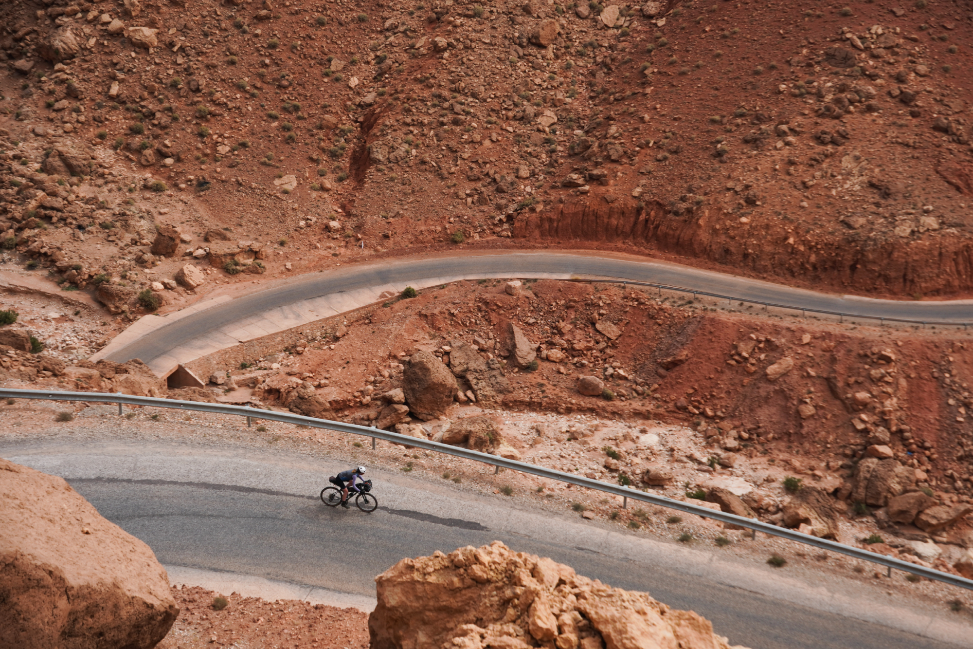
Don’t be fooled by the elevation chart, though, there are plenty of punchy uphills hidden in the overall descent - it’s really not quite the cruise you might think, especially when carrying as much kit as we were.
It came as a bit of a surprise that the thousand-year-old ksar (fortified village) of Aït Benhaddou is actually mostly hidden when you approach it from the north as we did, requiring a little more squiggling through the modern backstreets than we anticipated on the approach up to it.
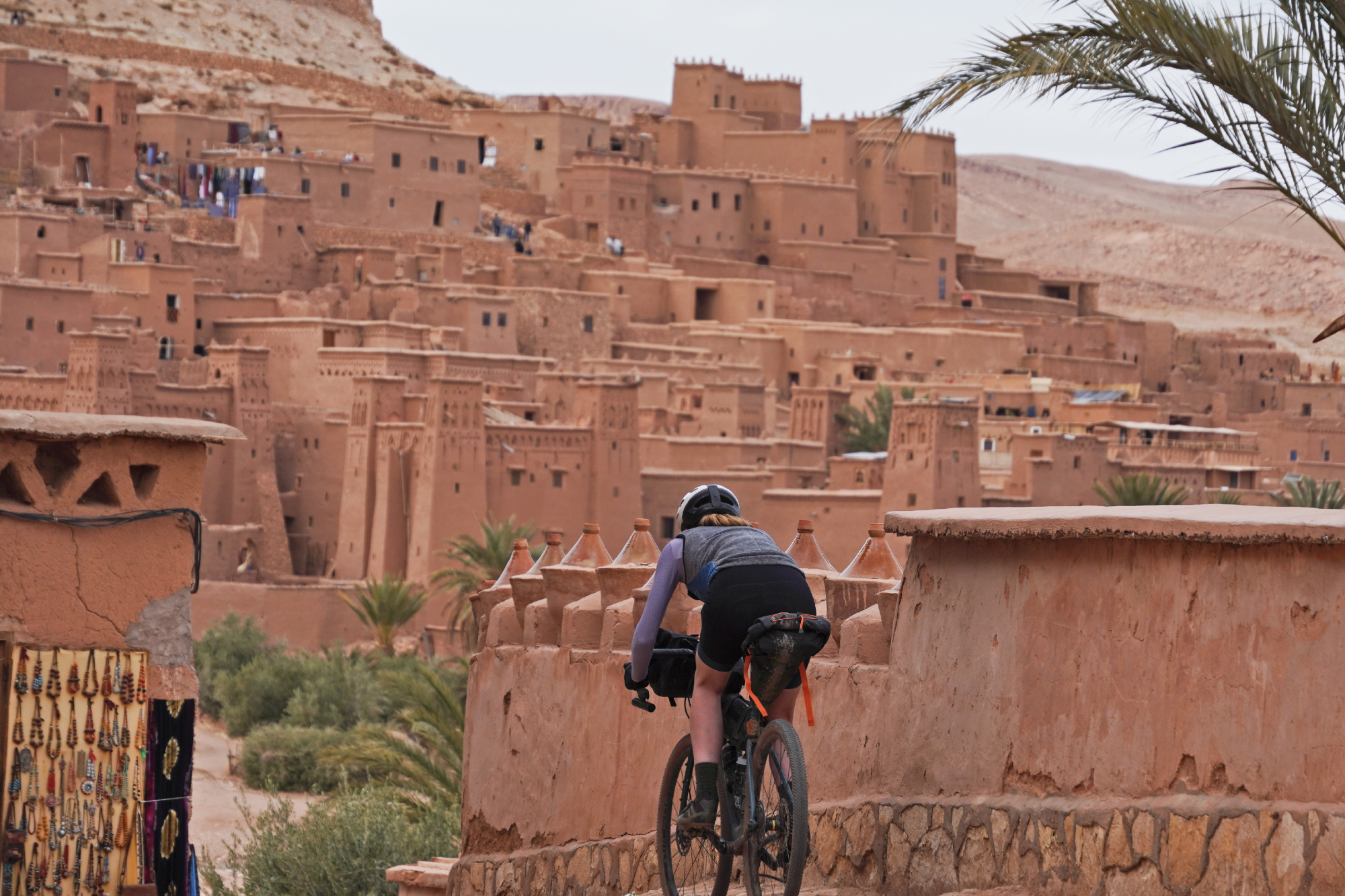
But the searching made our first glimpse of the ksar a little bit more of a moment when it finally peaked into view above the tagine pots stacked along a restaurant's terrace wall.
One of the most surprising things to me was that, aside from just the market sellers who just set up shop in the ksar during the day, there are actually still a few families living in the Aït Benhaddou ksar as their home. This isn’t so much a piece of history now frozen in time like so many of the ruined - and even many of the preserved - castles across Europe.
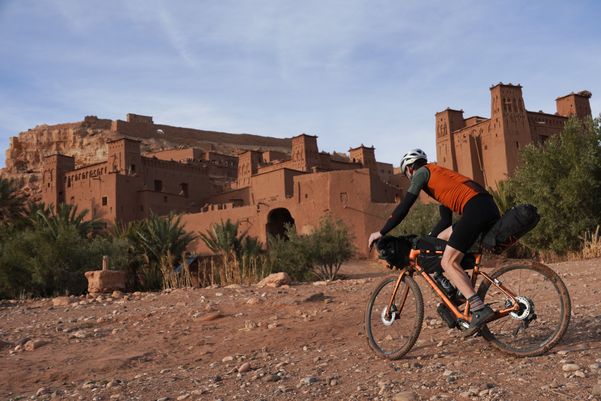
In terms of the films that were shot here, Gladiator and Game of Thrones are perhaps the most notable, but there have been many others. Apparently Charlie Chaplin spent a lot of time this way in the past, which was quite a surprise in itself!
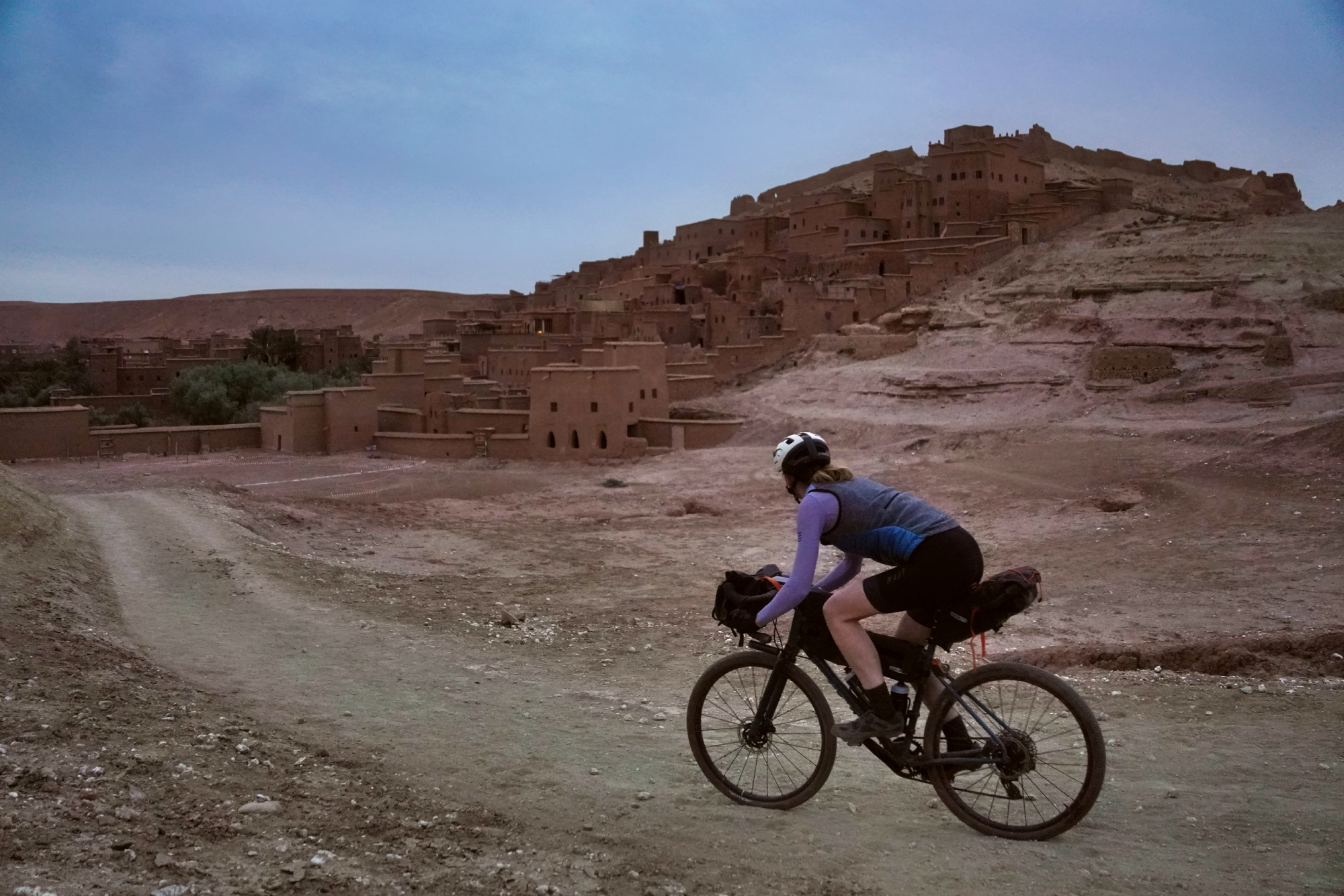
Naturally, the best views are from above, looking down into the tiny winding streets and also out over the mountains and hills. You could take the most direct route and simply walk and carry your bike up the many, many steps…
Or you could take the very moderately inclined gravel road that loops around the back and takes you right up to the top - the choice is yours but be warned, that gravel road is much easier to spot from the top than it is down the bottom!
Day 4: Aït Benhaddou to Agouim - 54km / 597m
The previous day had worked out perfectly by splitting it in half: we got to Aït Benhaddou by 16:00 and were able to explore the ksar until after sunset, following that up with a good dinner and an early night’s sleep.
Though the timings for the Aït Benhaddou day ended up being exactly spot on, it did put us in a rather better position than we really needed to be in for the 54km ride on to Agouim. Still, better to have more time than to run out!
Whereas the previous day had been deceptively pedally for a profile which looked like it was just one long descent, the ride up to Agouim was actually surprisingly easy for a profile which looked like it was just one long slog - no bad thing!
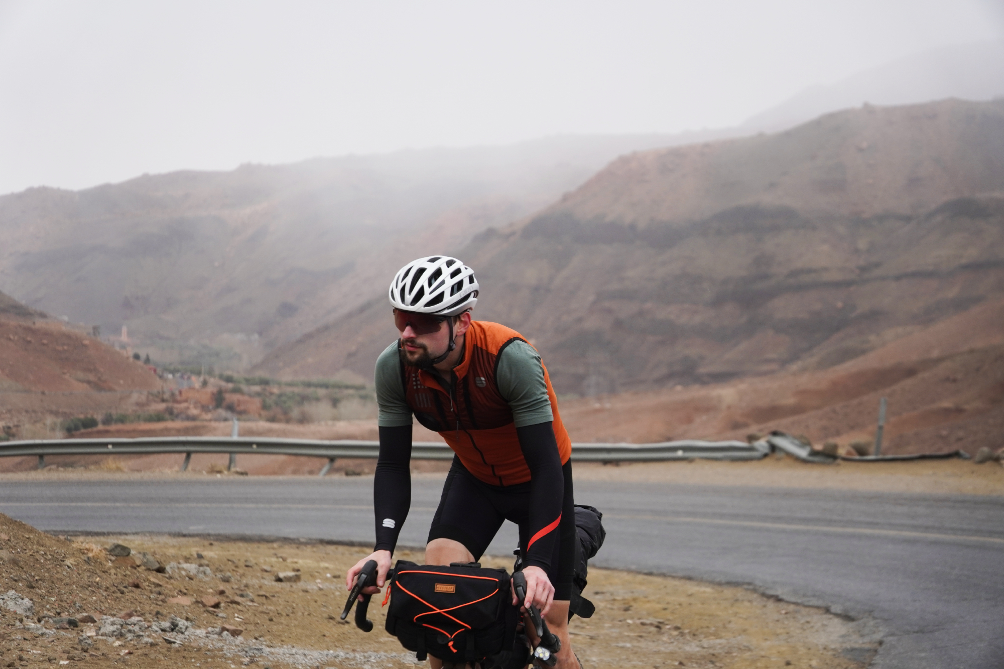
It was the weather that presented the greater challenge. Having been treated to blue skies and sun for the few days previous, the conditions were starting to turn.
As we pulled closer to Agouim, which sits at an elevation of about 1,700m, the clouds closed in and started to sleet. My head unit clocked a low of -1°C, but the mix of snow and hail still wasn’t really settling on the ground. Needless to say, it felt pretty chilly once we’d stopped riding for the day.
Day 5: Agouim to Marrakech - 141km / 1,243m
With the exception of the previous day’s ride to Agouim - which was just a bit short and gloomy - each leg of the loop had its own key highlight. There were the palm tree groves at the start, the high and remote gravel pass, then the ancient mud-walled city.
Now it was time for one of the most stunning descents we’ve ridden down.
Just before that, we still had about 500m of elevation to gain on our way up to the top of the pass. With a few shortesh descents, that dragged out to about 23km of riding before reaching the summit.
But that was fine, we were expecting that. What was a little more unexpected was the army of stray dogs lining the tops of the steep banks which flanked the roads and barking incessantly. We didn’t have any incidents with them as we climbed deeper into the snowline, but it is enough to put you a little on edge!
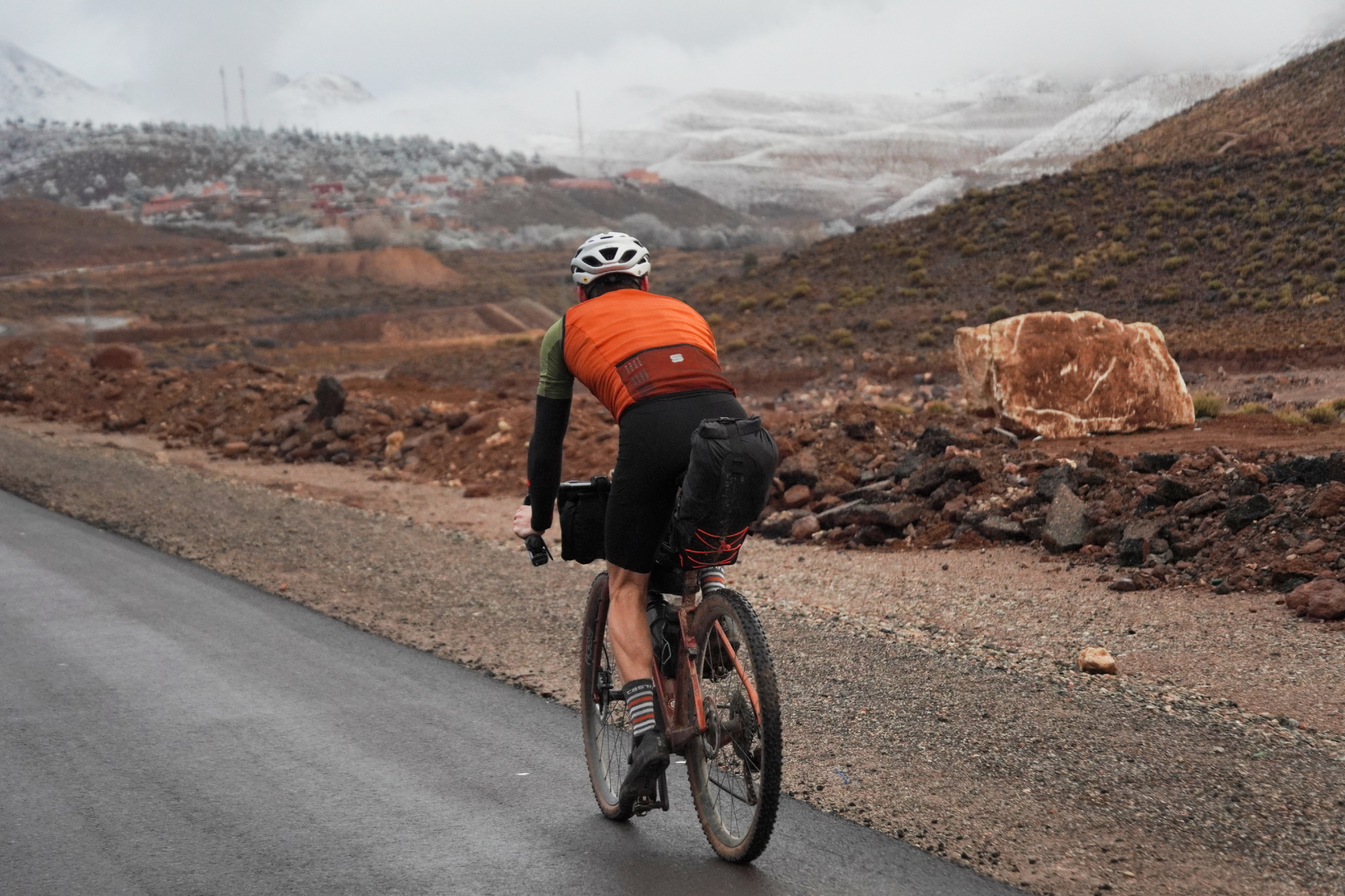
By the time we’d reached the top, I’d clocked a low of -3°C for pretty much the last hour of riding. The balance of temperatures is quite a tough one to get right when you’re riding around both Marrakesh and the mountains.
On the plains, the average high is 20°C in February and the sun isn’t too harsh, pretty perfect. But it means you do have to be prepared with the clothing you’re bringing for the high mountains - definitely do make sure you have enough kit for temperatures below freezing.
Coming in the summer means that you can at least pack light, but the average high for the plains around Marrakech is about 37°C and it can peak up to 50°C, which is a bit hot for riding. April is probably the best month, especially if you do want to see some snow on the peaks.
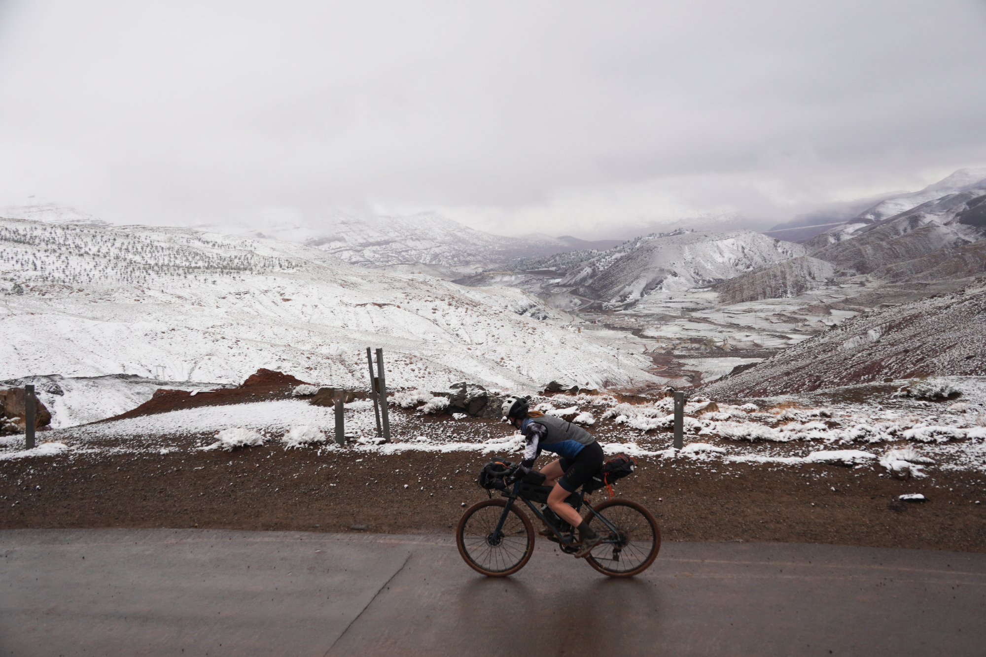
Eventually we got to the summit, but that’s not where the best views are to be seen. Dropping 200m of elevation down the north side of the pass and you get to a windswept viewpoint where you can see the Tizi n’Tichka pass snaking its way down the mountainside in front of you.
It’s simply stunning. And with about 1,500m of descending still to go, there’s an almost endless feel to it.
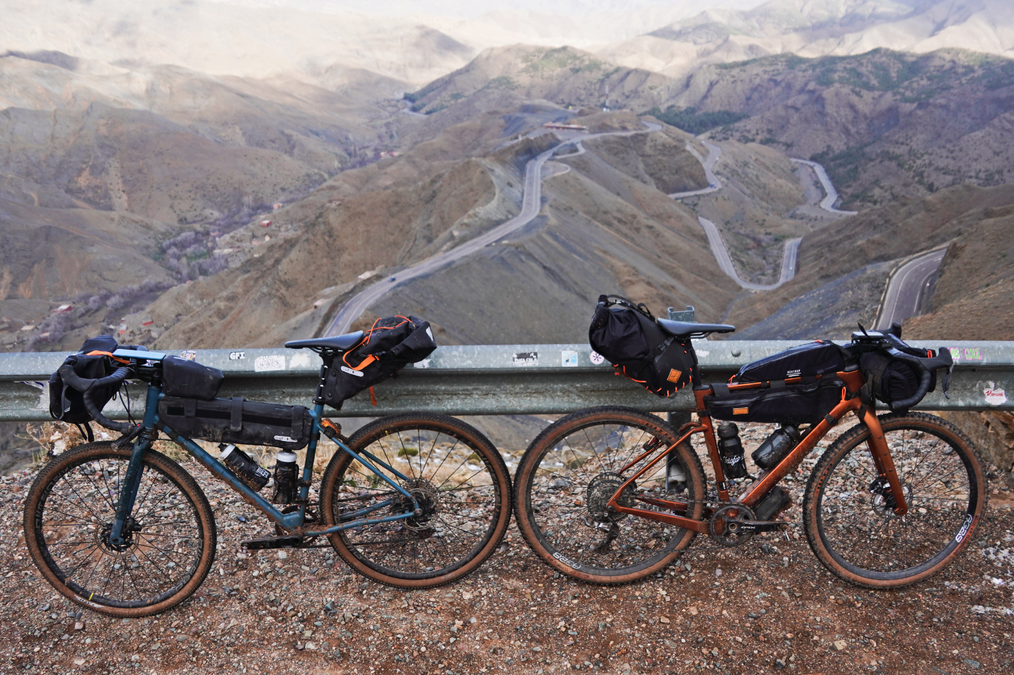
A word of warning, though. Despite this pass being nestled right in the middle of the Atlas mountains - and with high peaks all around - somehow those winds do manage to whip up to quite a speed. At least we were doing the descent quite early in the morning so there wasn’t much traffic, but still, being buffeted from your line is never pleasant.
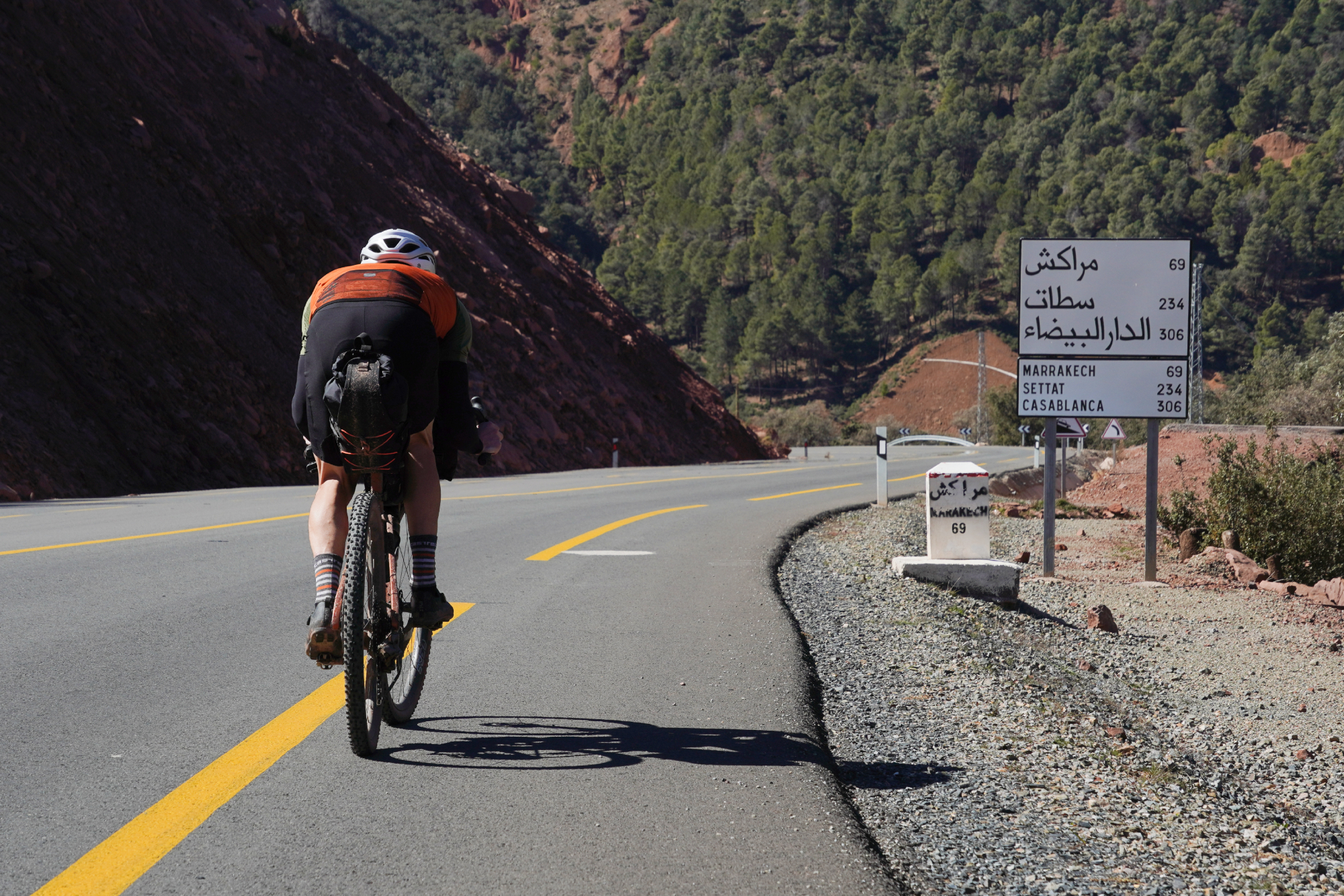
From that point it was a long and simple cruise back to Marrakech. The gradient slowly levels to the point of not looking or feeling like a descent anymore, but though it would be nice to think we could just cruise along at 30kph with all of our kit at the end of that loop, gravity still had something of a hand to play.
How to do things better…
As our first multiday loop on our first trip to Morocco, it would have been quite a surprise if there was nothing we’d change about the route we took. But on the flipside, it is quite nice that we now have a clear idea of what could have been done better!
Rather than doing the ride over three days and one evening - which ultimately turned into four days and one evening - we would have planned to do it over four, as well as taking quite a different route. Below is what we’d suggest as the better loop to do.
Day 1: Marrakech to Ait Ali Ouroho - 110km
Going from Marrakech and over the road pass to Ait Ali Ouroho is more predictable and more easily done in a day than attempting the gravel pass in a north-south direction - we’d say this is the much better way of getting into the High Atlas mountains. Just when you’re going in this direction, make sure you do turn around to see the Tizi n'Tichka view point!
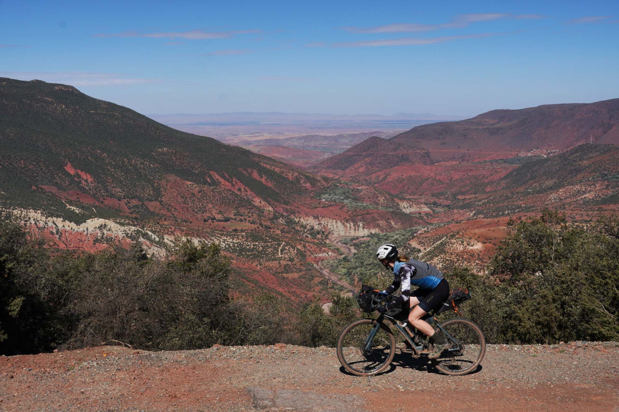
Don’t worry, the gravel pass isn’t being missed out - that’ll be covered on the way back!
If you want to split up this day, there are lots of places to stay at Ait Ourir, which is about 40 per cent of the way in and before the climbing proper. If you’re keen, you could go all the way to the town of Telouet itself, rather than stopping at the first accommodation along the road, but we’d say it’s best to make this day shorter and the next day longer.
Day 2: Ait Ali Ouroho via Ait Benhaddou to Ouarzazate - 90km
This ride is ultimately downhill, but with all the kickers it’s not one to underestimate - you’ll be averaging about as fast as you would go on the flat rather than a descent. Still, if you’re up and out early, you should be able to get to Ait Benhaddou for around lunch time and that’ll give plenty of time to see the ksar.
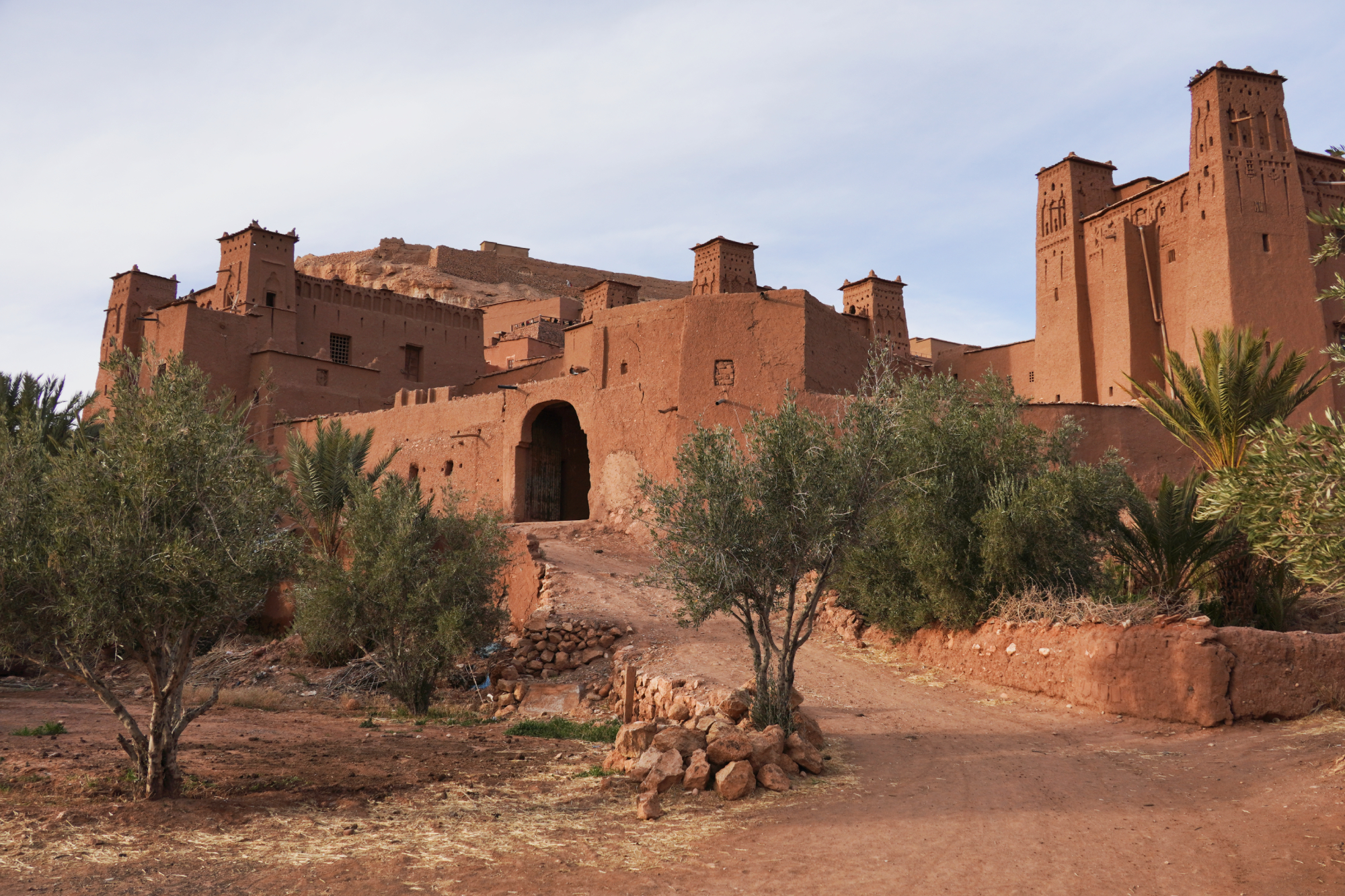
We’ve heard a lot about Ouarzazate and it’s not far from Ait Benhaddou - when you’re that close, you really should go and visit (we’re quite sad we didn’t!). The ride down is quite short, and then the best thing to do would be to see some of the sights before the sun sets and grab some dinner after that. Then it’s just finding somewhere to stay in the town.
If you want to split this ride up, we’d suggest riding down to Ait Benhaddou and staying there for two nights. When you first arrive, visit the ksar. On the second day, go on a day trip to Ouarzazate and come back to Ait Benhaddou. Then, after the second night, make your way back up to Telouet. It’ll save some faff checking in and out, and the distances work out quite nicely.
Day 3: Ouarzazate back to Telouet - 80km
Compared to the first two days, this is a bit of a boring one. But considering the first two days will have been quite heavy with all the climbing and then all the sights to see, having a more relaxed time on the third day makes quite a nice lull - especially because the next day you’ll be going over the 2,500m pass!
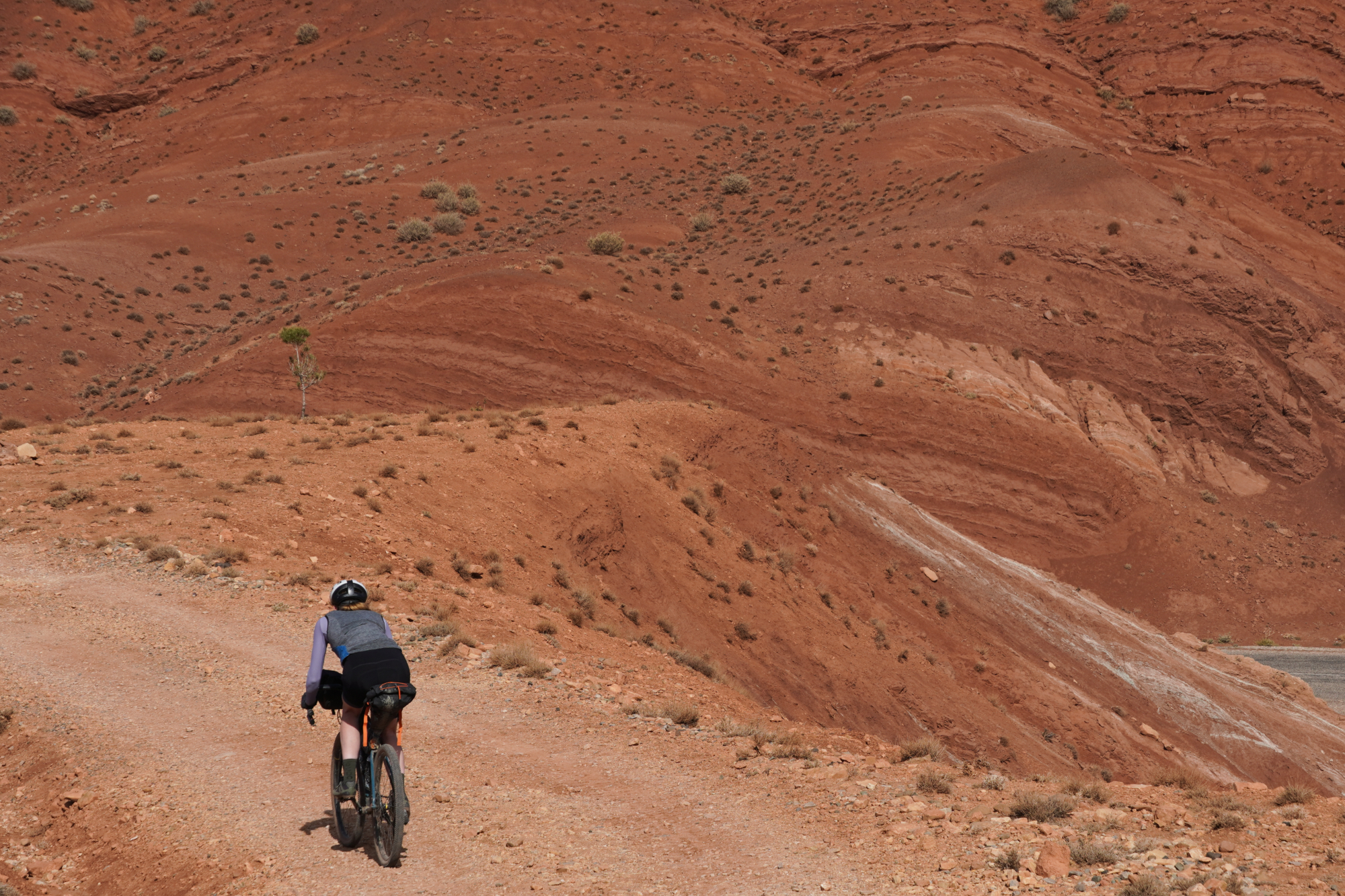
The elevation profile might look pretty imposing, but if the ride down was deceptively not that quick and easy, then surely the ride back can’t be too hard and slow? Still, best not to underestimate it.
If you do arrive in Telouet early, the town has a kasbah which is supposed to be brilliant, and there are some old pictures of Charlie Chaplin there when he visited. Again, another sight we’re sad not to have seen.
Day 4: Telouet back to Marrakech - 110km
This will be the most epic day of the trip so really do respect it. The pass is very steep on both sides of the highpoint of 2,500m, but on the south side the path is singletrack and strewn with large rocks, making it essentially impossible to ride on.
On the north side, although the pass is also very steep and likewise nearly impossible to ride up, it is at least double track and quite possible to ride down.
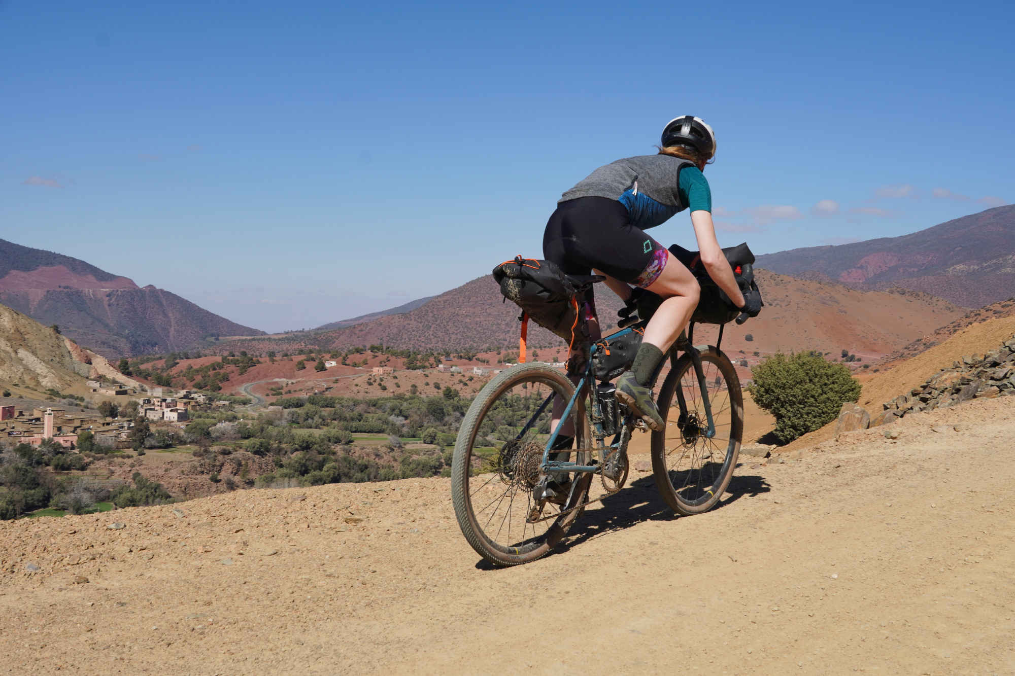
Rather than approaching north to south as we did, resulting in a 5km hike-a-bike up and a 10km hike-a-bike down, much better to approach it south to north and accept the long hike-a-bike up and actually be able to ride down the other side - it’ll save you a lot of time and effort!
Although there is quite a bit of climbing on this day, quite a lot of gravel and that hike-a-bike first section, you are at least starting from quite high - so the ride down to Marrakech is mostly downhill and pretty fast. It should be a good end to the loop!
If you like, you can stay at Ait Ourir to break up the ride back, but that only saves about 40km and the road is gently downhill - at that point you might wish to get straight back to Marrakech rather than draw things out for another night away. But the option is there if you want it!
If you want to read more about Ortlieb's bikepacking bag system and the kit Anna used in the High Atlas mountains, you can find that write up over here. For the bikes of the Atlas Mountain Race, that's just over here.

Thank you for reading 20 articles this month* Join now for unlimited access
Enjoy your first month for just £1 / $1 / €1
*Read 5 free articles per month without a subscription

Join now for unlimited access
Try first month for just £1 / $1 / €1

After winning the 2019 National Single-Speed Cross-Country Mountain Biking Championships and claiming the plushie unicorn (true story), Stefan swapped the flat-bars for drop-bars and has never looked back.
Since then, he’s earnt his 2ⁿᵈ cat racing licence in his first season racing as a third, completed the South Downs Double in under 20 hours and Everested in under 12.
But his favourite rides are multiday bikepacking trips, with all the huge amount of cycling tech and long days spent exploring new roads and trails - as well as histories and cultures. Most recently, he’s spent two weeks riding from Budapest into the mountains of Slovakia.
Height: 177cm
Weight: 67–69kg
- Anna Marie AbramFitness Features Editor
-
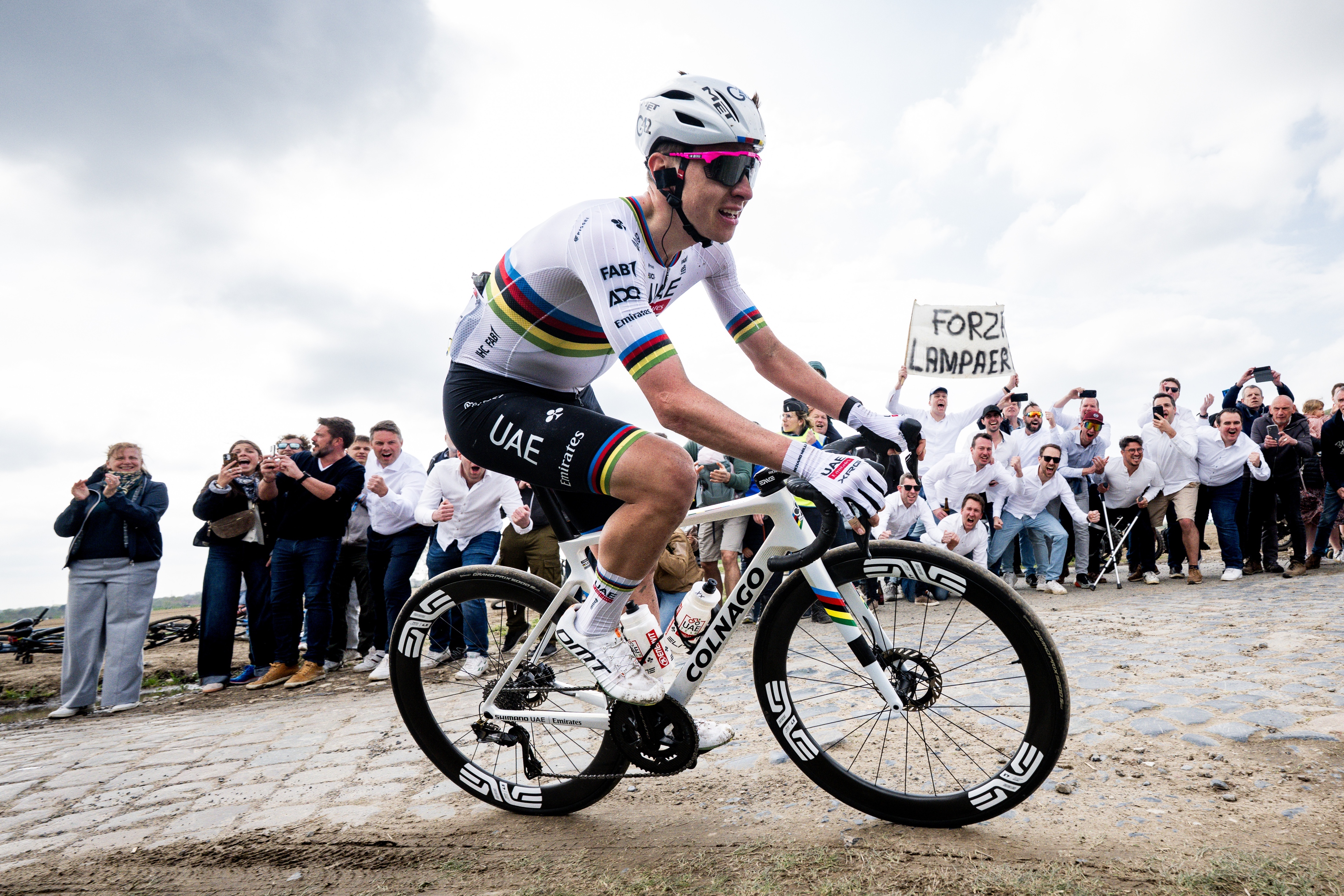 'One of the hardest races I've ever done in my life' - Tadej Pogačar finishes runner-up on Paris-Roubaix debut after crash
World champion reacts to 'extremely hard' battle with Mathieu van der Poel
By Tom Davidson Published
-
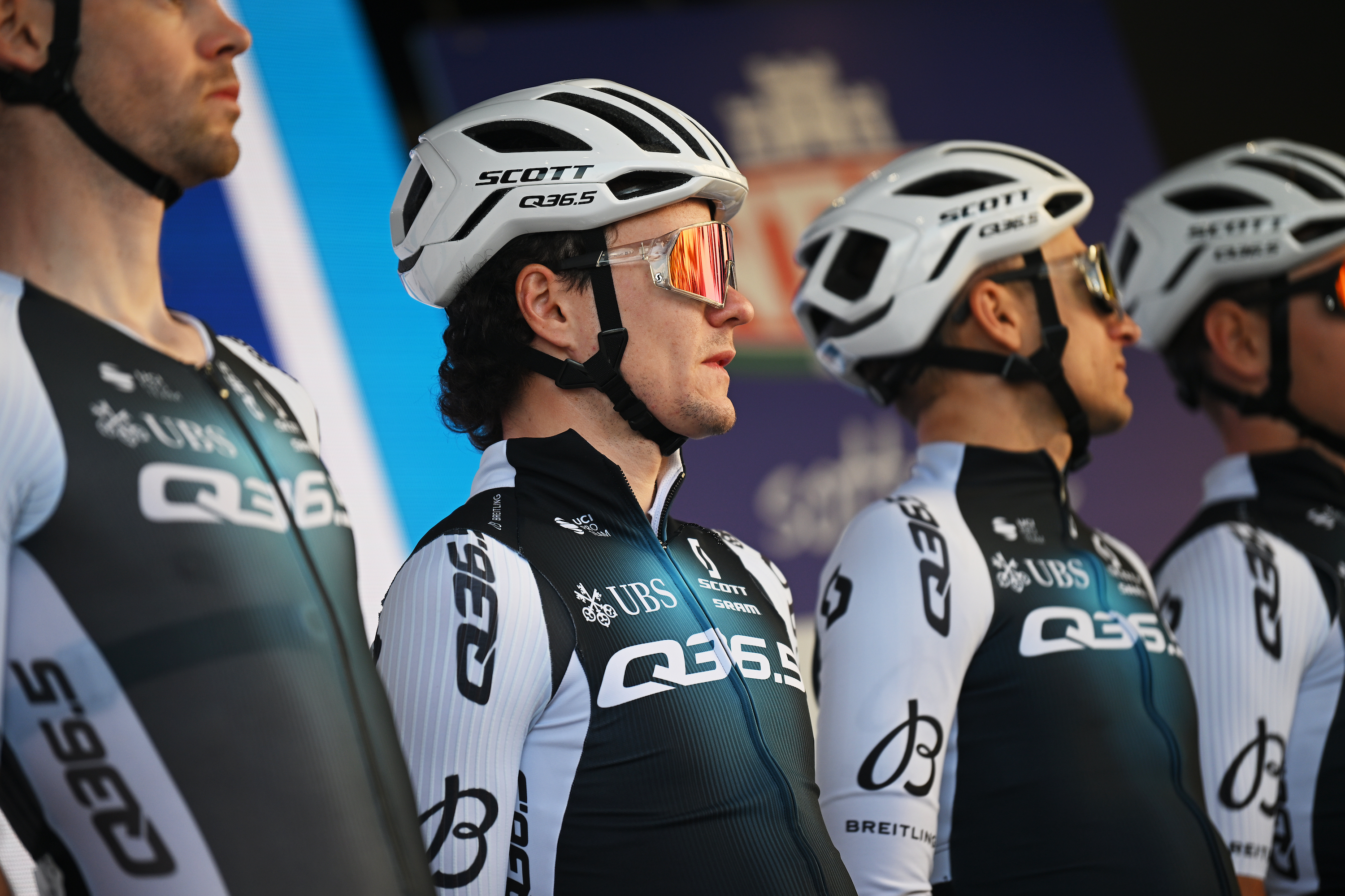 'I thought it would be dark by the time I got here' - Joey Pidcock, the last rider to finish Paris-Roubaix, on his brutal day out
Q36.5 rider finishes outside time limit, but still completes race with lap of the Roubaix Velodrome
By Adam Becket Published